***UPDATE*** Due to a broken link on the @theU blog, the writer was initially unable to access the U of U map on mobile, but has since learned that the map IS in fact available on mobile.
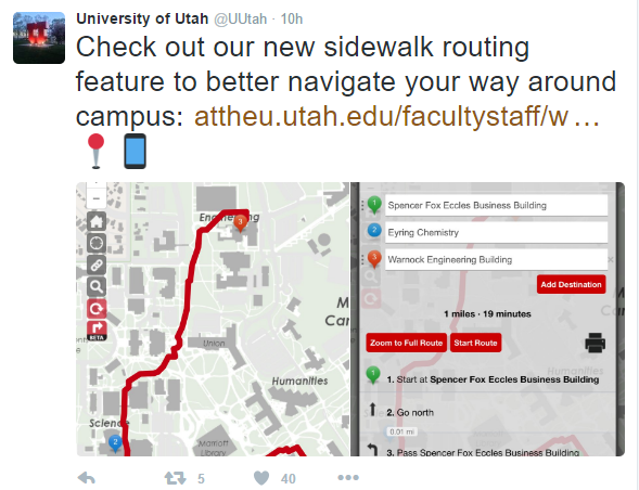
The official University of Utah Twitter account welcomed students today by plugging a new map feature on their website, sidewalk routing.

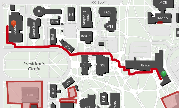
The University’s @theU blog says that the feature will “draw the most efficient pedestrian path to [your] selected destination.” It even factors in construction detours, and can give you step by step instructions.
Sounds good, but how does it actually perform?
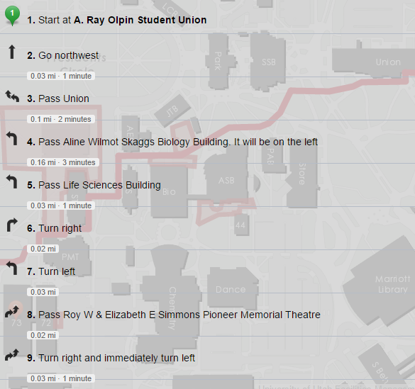
The main problem with the feature is its step-by-step instructions. They include steps like, “Go NW for .25 miles” or “Pass Life Sciences Building.” The problem is that if a student needs help finding a building on campus, either because they’re directionally challenged or new to campus, these instructions aren’t going to help very much.

If a new student needs help finding a building, they’d be better off downloading Pokemon GO. It shows their current position and almost every building on campus has a Pokestop that shows the name of the building.


