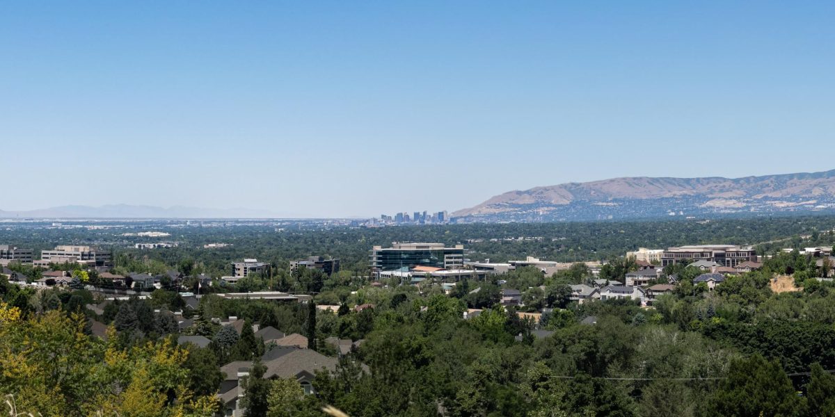
Geography no longer consists of just maps and locations of places, which is exactly what the U department of geography is trying to prove.
Panelists will speak during Geography Awareness Week8212;an internationally-celebrated event beginning Tuesday8212;on varying subjects relevant to geography, such as climate change in Greenland, urban sustainability and public health. The week’s event will be held in OSH.
“The idea is a lot of people aren’t aware of the revolution that’s occurring in geography,” said Harvey Miller, a U professor and chairman of the department of geography. “Geography has become a high-tech science where we have lots of data to work with. It’s changing everything.”
Geography Awareness Week is celebrated because of a decline in geographic literacy and a basic knowledge of where things are in the world, said Gregory Fryer, chairman of the event and a graduate student in geography. The event will also act as a promotion for the U department of geography and to give students a better understanding of careers available to those who graduate with a degree in geography, such as environmental geography and urban planning.
“Geography allows other disciplines to put data into bigger context,” Fryer said. “The spatial context derives more information, such as why are wild fires more prominent in the west.”
During the week, several lecturers are lined up to speak, including Rick Forster, a U geography professor, who will speak on the rapid climate change in Greenland, a place where he has done a large amount of research, Miller said.
Larry Coats, a professor of geography, will present evidence on why Fremont American Indian artifacts, found on a ranch in Range Creek were very well-preserved, as if they were made recently, Miller said.
“That’s the greatest archeological discovery in a hundred years in North America,” Miller said. “Larry Coats, one of our faculty, has been looking into reasons why they were built and why they were abandoned so quickly.”
During the week, a Geographic Information System will be exhibited. GIS takes what geographers have done with maps for thousands of years and changes how they process that information, Miller said. With a GIS, geographers can look into environmental factors, human sustainability, the spread of diseases and current conditions of a city. They can then project how that city might evolve, Miller said. Simple GIS technology includes Google Earth and global-positioning systems.


